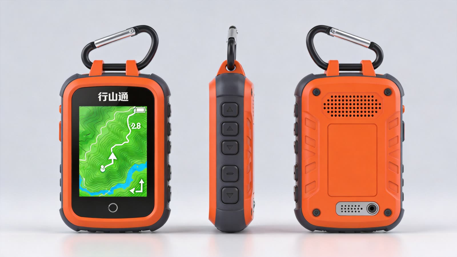
 HaangSaanTung
Where a phone can't go
HaangSaanTung isn't racing phone apps on features. It does the handful of things a phone can't.
Navigation NAVIGATE
- Offline maps for all of Hong Kong — country park trails and contours, preloaded
- Every stage of the four great trails, plus popular short routes, with difficulty, timing and exit points
- Cantonese turn-by-turn: "in fifty metres, turn right up the steps"
- Off-route alerts — thirty metres astray and it buzzes, then walks you back
Safety PROTECT
- Live Hong Kong Observatory feed — heat, thunderstorm and typhoon warnings that tell you to turn back
- Sunset countdown: "an hour of light left — head down at Tai Long Au"
- Fall detection and press-and-hold SOS, with your coordinates and the trail you're on
- A five-layer distress system that keeps trying to make you findable, even with no signal
Company ACCOMPANY
- An AI voice companion that talks with you in Cantonese, start to finish
- Ask about the trail: "how far to the shelter?" "is the next stretch steep?"
- Stories along the way — the wartime relics at Shing Mun Reservoir, and more
- Encouragement mode: when you're hiking alone, it checks in and marks your progress
Deliberately not doing V1 SCOPE
- No overseas maps — the first release does Hong Kong properly
- No heart rate or SpO2 — that avoids medical certification; your watch already does it
- No camera — saves power, saves cost, avoids the privacy argument
- No extreme-sport modes — trail-running analytics, diving and climbing are not the target
Five layers of distress signalling
No single layer is reliable, so there are five. Whichever one gets through, the point is the same: someone can find you.
| L1 Cellular | the 4G model notifies your contacts directly, with coordinates and trail name |
|---|---|
| L2 Phone bridge | with no signal, it prompts the paired phone to raise HKSOS or satellite SOS |
| L3 Local beacon | BLE advertisement plus a Wi-Fi SSID carrying your coordinates, visible to anyone passing |
| L4 Sound and light | six blasts a minute — the international mountain distress signal — plus a strobing screen |
| L5 Black box | the whole track is logged on-device and backfilled the moment any channel returns |
Specifications
30 hnavigation mode
120 gapprox. 65×95×22mm
2.8″transflective display
IP671.5 m drop
Multi-GNSSGPS/BeiDou/Galileo
3000 mAhUSB-C, reverse charge