
HaangSaanTung
haang4 saan1 tung1 · HaangSaanTung
Never hike alone.
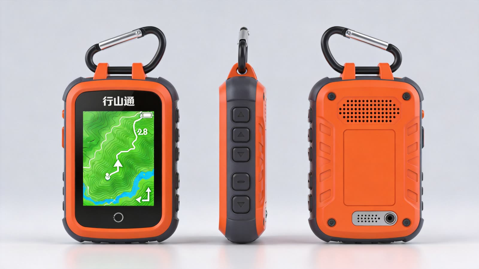
Navigation, safety, company
This isn't a feature race against phone apps. It competes where a phone can't: thirty hours of battery, a screen you can read in direct sun, physical buttons you can press with wet gloves on, and a voice that speaks Cantonese the whole way.
Navigation NAVIGATE
- Offline maps for all of Hong Kong — country park trails and contours, preloaded
- Every stage of the four great trails, plus popular short routes, with difficulty, timing and exit points
- Cantonese turn-by-turn: "in fifty metres, turn right up the steps"
- Off-route alerts — thirty metres astray and it buzzes, then walks you back
Safety PROTECT
- Live Hong Kong Observatory feed — heat, thunderstorm and typhoon warnings that tell you to turn back
- Sunset countdown: "an hour of light left — head down at Tai Long Au"
- Fall detection and press-and-hold SOS, with your coordinates and the trail you're on
- A five-layer distress system that keeps trying to make you findable, even with no signal
Company ACCOMPANY
- An AI voice companion that talks with you in Cantonese, start to finish
- Ask about the trail: "how far to the shelter?" "is the next stretch steep?"
- Stories along the way — the wartime relics at Shing Mun Reservoir, and more
- Encouragement mode: when you're hiking alone, it checks in and marks your progress
The gap in the middle
Hong Kong's country parks see around 12 million visits a year, and close to a million people hike regularly. Mountain rescues stay stubbornly high — people get lost, get heatstroke, get caught out after dark. Phone apps don't make you safe. Garmin is expensive and complicated. HaangSaanTung is the gap in between.
The Hong Kong trail dataset
Not a roadmap — a dataset that exists today. Real route geometry, elevation profiles, AFCD distance posts and escape points for every trail. Open for anyone to use.
Route geometry © OpenStreetMap contributors (ODbL)
Thirty seconds
Narrated in Mandarin; a Cantonese version is in production.